|
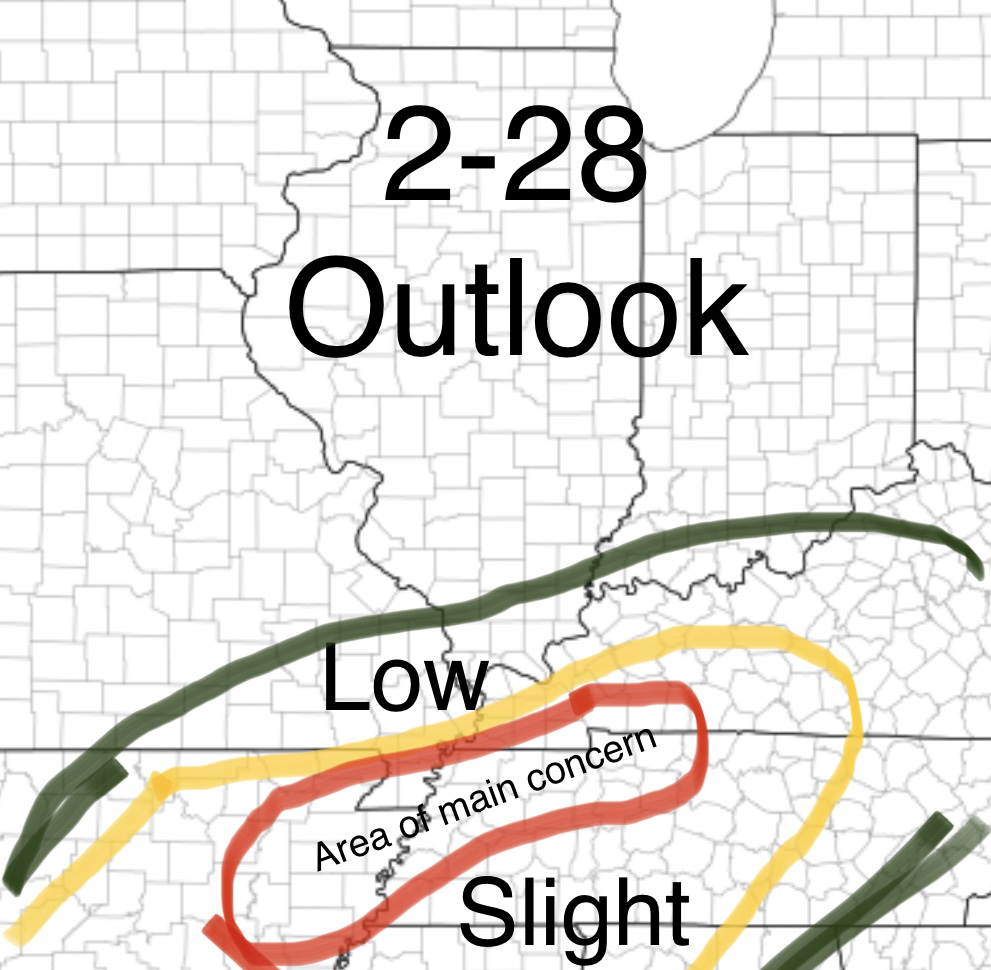
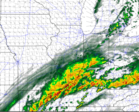
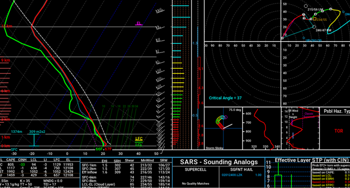
Good morning guys! Not too much has changed from yesterday besides clarifying some of the main aspects to today's severe weather threat. Generally a small line of storms will start forming along a boundry that will be set from this mornings storms in the north end of the "Slight Risk" and move towards the Northeast, before a much stronger line comes in from Arkansas late evening and continues across the Mississippi River around 6-7pm. Some renegade cells as shown on the HRRR model picture below also show a small concern for more of a tornado threat but that is something we will have to watch. Generally the main area is that red circled area. Northern and western portions of that are during the Daylight hours but most of the Tennessee portion is 7-10pm for the storms. Main hazard will be damaging winds with these fast moving storms but a tornado or two can not be ruled out, and some small hail can be possible! All for now! Pictures of the HRRR are below! HRRR at 6pm Hodograph over the bootheel of MO at around 6pm showing favorable conditions
0 Comments
Leave a Reply. |
Details
AuthorWrite something about yourself. No need to be fancy, just an overview. Archives
June 2022
Categories |


 RSS Feed